


Drone mapping 3D, Pix4D now available for the Yuneec H520
 InfoWeb Marketplace · Editorial team
Published on 23 October 2018 · 2 min read
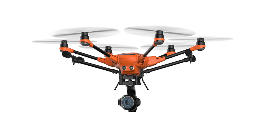
An ideal tool for digital investigation, surveying and construction, the Pix4D image capture app Pix4Dcapture is available now for Yuneec's professional H520 drone. It enables authorities and organizations performing security tasks, as well as civil engineers and surveying technicians, to collect extremely precise, georeferenced image data for creating 3D models.
What sets this professional drone mapping tool apart: the high flight stability of the H520 makes it possible to obtain very high-quality images, even in strong wind. In addition, the Pix4Dcapture app is integrated directly into the ST16S remote controller of the hexacopter, with no need for a third-party device. Free of charge, the app records images and data in such a way that they are ideally prepared for post-processing with Pix4D mapping software suites.
?We are delighted that Pix4D has developed a tailor-made version of the Pix4Dcapture app for the H520, using our software development kits. It is so tightly integrated into our drone flight system and our data acquisition process that our pilots can generate extremely precise 3D mapping and models,? says Jörg Schamuhn, Managing Director of Yuneec Europe.
The detailed images from the H520-Pix4D solution can, for example, be used by the police to create precise 3D images of crime scenes, by engineers to generate realistic 3D construction models, or by rescue teams to produce 1:1 images of an accident. The Pix4D suites offer numerous post-processing possibilities, from high-resolution georeferenced orthophotography to surface models (DSM, DTM) and textured 3D models, as well as point clouds.
The Pix4Dcapture app for the Yuneec H520 is equipped with the Grid, Double Grid and Polygon mission modes. Before takeoff, pilots can adjust the flight plan and various mapping parameters such as camera angle, altitude or image overlap to suit their needs. Once the flight has started, two different views are available: Map and Camera. They display either the live camera images or the map with all live telemetry indicators, including altitude and speed.
Pix4Dcapture will soon be preinstalled on all ST16S remote controllers supplied with the Yuneec H520. Users who already own a H520 can download the image capture app from the Google Play Store.
Find all the information about 3D drone mapping with the H520 Pix4Dcapture app from Yuneec here